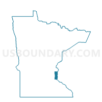
Landfall Voting District, Washington County, Minnesota
About
Outline

Summary
| Unique Area Identifier | 604798 |
| Name | Landfall Voting District |
| County | Washington County |
| State | Minnesota |
| Area (square miles) | 0.10 |
| Land Area (square miles) | 0.07 |
| Water Area (square miles) | 0.02 |
| % of Land Area | 76.45 |
| % of Water Area | 23.55 |
| Latitude of the Internal Point | 44.94999150 |
| Longtitude of the Internal Point | -92.97741510 |
Maps


Graphs
Select a template below for downloading or customizing gragh for Landfall Voting District, Washington County, Minnesota